
Labor Day weekend plans might be rained out.
As of Tuesday night, tropical storm Dorian is expected to be categorized as a hurricane as it approaches Puerto Rico and Hispaniola this evening.
Dorian is expected to be a Category 1 hurricane as South Florida rescue teams prepare for its arrival, according to a CNN report.
In the worst-case scenario, Dorian will gain strength as it moves toward a current projected landfall area near Daytona, Fla. on Saturday and Sunday, said Nicolette Zangara, a weather forecaster for WUFT, WRUF and the Florida Public Radio Emergency Network.
These updates shouldn’t panic Gainesville residents yet, Zangara said. Dorian has to overcome physical boundaries, like the Cordillera Central mountain range in Puerto Rico, which may affect whether the storm holds together.
“Those mountains range from 10,000 to 15,000 feet,” she said. “If it passes over those mountains, we could see it weakened significantly, but if it doesn’t hit those mountains, then we could potentially be seeing a rapidly intensifying storm.”
U.S. Senators Marco Rubio (R-FL) and Rick Scott (R-FL) urged President Donald Trump to approve Puerto Rico’s declaration of a state of emergency ahead of Dorian’s expected landfall. Schools in Puerto Rico are schedued to be closed today.
Official hurricane season for the North Atlantic lasts from June 1 to Nov. 30, although activity is seen outside those dates, said Corene Matyas, a UF associate professor of geography.
Storm classification is measured on a scale from 1 to 5 determined by maximum wind speed, Matyas said. Florida’s summer moisture, heat and water vapor create the perfect conditions for storms to thrive.
“The temperature inside the storm is different from the temperature outside the storm, and it causes a drop in pressure,” she said. “That’s why they call it a heat engine.”
Students should monitor the storm for updates, especially Thursday and Friday, Zangara said. Weather agencies will release an updated detailed projection on Dorian every five to seven hours.
“It’s scary to think about, but we’re still a good amount of time out for plenty of things to change,” Zangara said.
Gainesville will not feel any of the storm’s impacts until the weekend, she said.
“Regardless of what happens with Dorian over the next couple of days, we’re still gonna get a surge of moisture this weekend which can create some pretty heavy rain and thunderstorms,” she said.
On Facebook group “Swampy UF memes” for top ten public teens, students have made jokes about Dorian’s Gainesville landfall.
Juliet Rapport, an 18-year-old UF health science sophomore, made a meme referencing how she wishes the storm wouldn’t affect Gainesville over the upcoming long weekend, as classes will not be held on Monday due to Labor Day.
“I just made the meme for a quick laugh,” she said. “I don’t think class will be canceled though.”
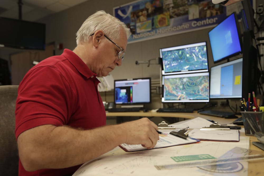
Senior hurricane specialist Stacy Stewart monitors the progress of Tropical Storm Dorian at the National Hurricane Center, Tuesday, in Miami.

