
HOGP
·
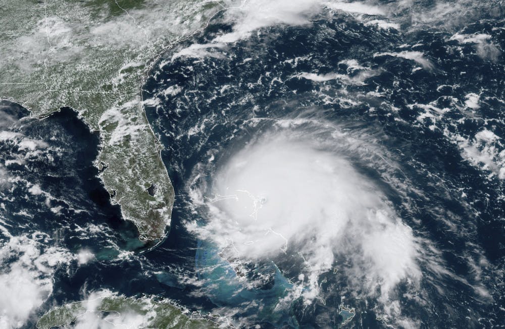
This GOES-16 satellite image taken Sunday, Sept. 1, 2019, at 17:00 UTC and provided by National Oceanic and Atmospheric Administration (NOAA), shows Hurricane Dorian, right, churning over the Atlantic Ocean. Hurricane Dorian struck the northern Bahamas on Sunday as a catastrophic Category 5 storm, its 185 mph winds ripping off roofs and tearing down power lines as hundreds hunkered in schools, churches and other shelters. (NOAA via AP)
More

IMG_5243.jpeg
By Ornella Moreno | 10:30amRicardo Cedillo (left), Agnes Leslie (center) and Salvador Cedillo (right) pose for a photo outside Las Carretas after the first World Cup match between Mexico and South Africa, Thursday, June 11, 2026, in Gainesville, Fla.

IMG_5235.jpeg
By Ornella Moreno | 10:30amDiners watch the second half of the first World Cup match between Mexico and South Africa at Tinker Restaurant, Thursday, June 11, 2026, in Gainesville, Fla.
IMG_1338.jpeg
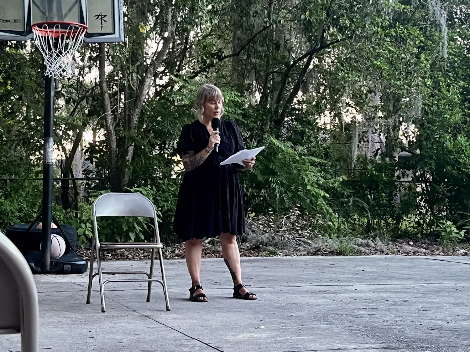
By Brandy Sumner | June 11Emily Westerholm, the founder and executive director of Released Reentry, recites a poem at an Open Mic Poetry Nights event at Released Reentry in Gainesville, Fla., on June 10, 2026.